Peru v Chile (ICJ). Judgment 2013.
Judgment at: http://www.icj-cij.org/docket/files/137/17930.pdf
The case concerned the maritime boundary between Peru and Chile.
Chile maintained that the boundary had been fully decided by agreement in 1954 and followed the parallel of latitude from boundary pillar Hito No 1. Peru maintained that the agreement was only provisional in character and was only intended to be an initial step towards delimitation.
The Court decided that there was an agreed boundary along the parallel of latitude but one that only extended for 80 nautical miles, that being the limit of fishing activities at the time of the agreement. From that point 80M out the boundary proceeds as an equidistance line – though displaced to discount the first 80M of the Peruvian coast.
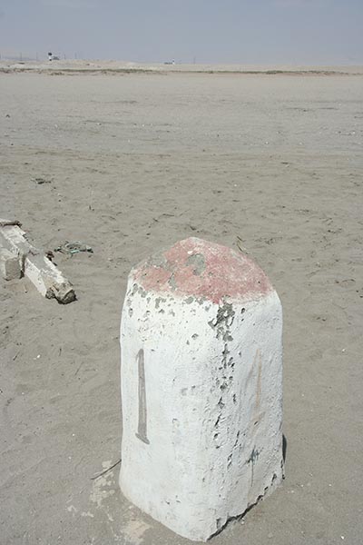
Hito-1 : the final boundary pillar on the Peru-Chile land boundary. The final section of the boundary is drawn along a 10km arc measured from the centre of the railway bridge over the river Lluta and extending as far as the low water line.
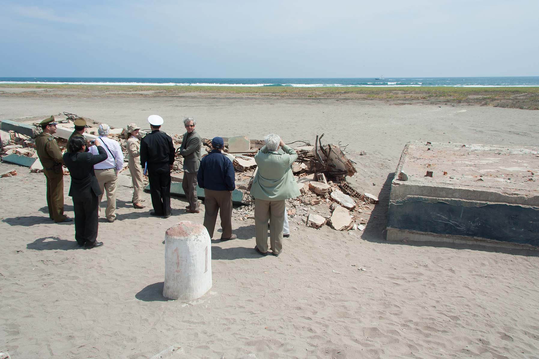
The section of the maritime boundary agreed in 1954 follows the parallel of latitude through pillar Hito-1. Two lighthouses were built to mark this line: the remains of one at the boundary pillar which was destroyed by an earthquake, and a second one set inland; these two lights line up along the maritime boundary to enable shipping to locate the boundary.
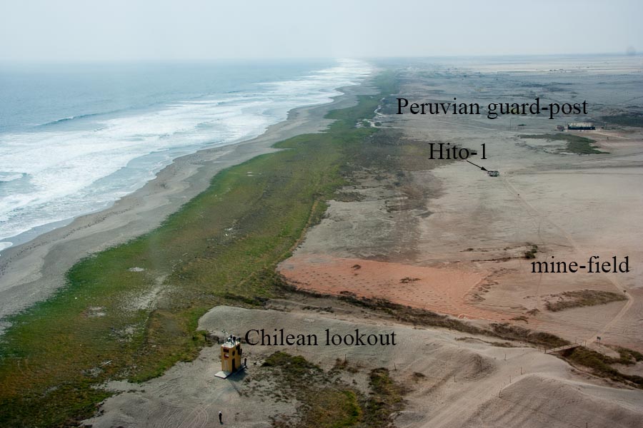
Aerial view overlooking the border area. A Chilean lookout post can be seen in the foreground, and a Peruvian guard post at the top of the image. The path to the boundary pillar runs through a mine-field.
Back to case studies